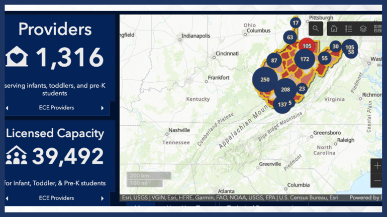
Geographic Information Systems (GIS) are a set of powerful software tools used to create and display maps that help geographically illustrate and communicate complex problems. They can also highlight potential solutions — maps can help identify assets and resources, as well as understand underlying location-based trends in datasets. This wealth of information can be key for child care advocates to educate and inform local and state decision-makers about the challenges facing the child care community and the need to advance specific policy solutions.


